ARS - Cart'Eaux - Métropole - Captages & données SISE-Eaux (partenaires)
Captages en eau potable & données SISE-Eaux.
La donnée étant sensible pour la sécurité publique n'est accessible aux ayants droits Cart'eaux (profil partenaire public).
Simple
- Date (Revision)
- 2025-11-21T13:48:07
- Date (Publication)
- Citation identifier
- https://catalogue.atlasante.fr/geonetwork/srv/4d28cca8-fa80-49d7-bee2-8a2326b86f29
- Point of contact
-
Organisation name Individual name Electronic mail address Role Direction Générale de la Santé
Distributor
- Theme
-
-
captage
-
captages
-
cart'eaux
-
AEP
-
- Place
-
-
métropole
-
- Keywords
-
-
Domaines
-
-
Eau potable
-
Partenaires droit public
-
- Access constraints
- Restricted
- Use constraints
- Restricted
- Classification
- Restricted
- User note
-
La donnée étant sensible pour la sécurité publique n'est accessible aux ayants droits qu’après la signature d'une convention de mise à disposition.
- Spatial representation type
- Vector
- Denominator
- 1000
- Language
-
fre
- Character set
- UTF8
- Topic category
-
- Health
- Description
-
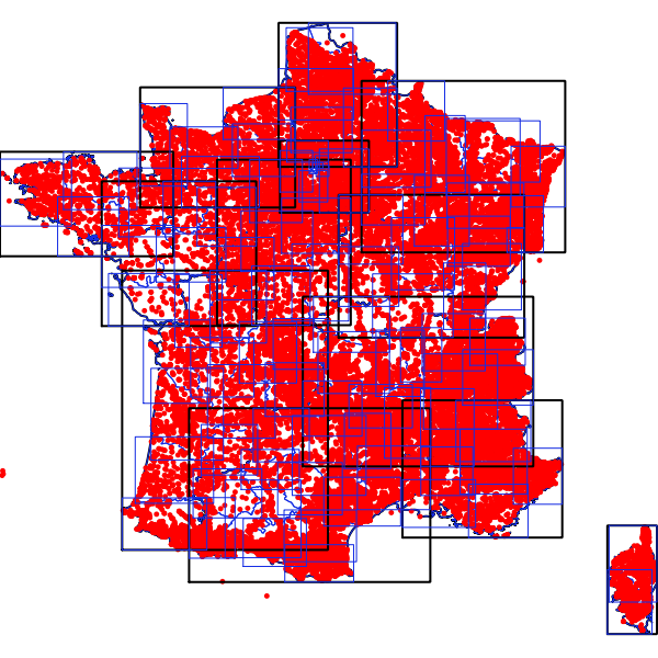
France métropolitaine
))
- Supplemental Information
-
France métropolitaine
- OnLine resource
-
Protocol Linkage Name WWW:LINK-1.0-http--link
https://carteaux.atlasante.fr/ Cart'eaux
WWW:DOWNLOAD:application/vnd.geo+json
https://catalogue.atlasante.fr/api/data/4d28cca8-fa80-49d7-bee2-8a2326b86f29?srs=EPSG:4326 API Geojson
OGC:WFS-1.0.0-http-get-capabilities
https://datacarto.atlasante.fr/wfs?service=WFS&request=GetCapabilities ars_carteaux_captages_partenaires_j
OGC:WFS-1.0.0-http-get-capabilities
https://datacarto.atlasante.fr/wfs/e51dd489-2bf0-4397-a179-89f2d4962699?service=WFS&request=GetCapabilities ars_carteaux_captages_partenaires_j
WWW:DOWNLOAD-1.0-http--download
https://telechargement.atlasante.fr/download/4d28cca8-fa80-49d7-bee2-8a2326b86f29 Accès au téléchargement des données
WWW:LINK-1.0-http--link
https://catalogue.atlasante.fr/geosource/consultationWMS?IDT=16140039 Accès à la visualisation des données
- Hierarchy level
- Dataset
- Statement
-
SISE-Eaux
- Description
-
Le tracé des périmètre est réalisé par les services départementaux.
Metadata
- File identifier
- 4d28cca8-fa80-49d7-bee2-8a2326b86f29 XML
- Metadata language
- Français
- Character set
- UTF8
- Hierarchy level
- Dataset
- Date stamp
- 2026-03-03T12:18:15.442207Z
- Metadata standard name
-
ISO 19115:2003/19139
- Metadata standard version
-
1.0
- Metadata author
-
Organisation name Individual name Electronic mail address Role ARS
AtlaSanté
Originator
Overviews
Spatial extent
Provided by